Details
Trail Length: 16.7 miles
Towns: Guilford
Allowed Uses: Hiking
Partners: Connecticut Department of Energy & Environmental Protection (CT DEEP), Guilford Land Conservation Trust, South Central Regional Water Authority, Guilford Parks & Rec Dept, CT Office of Culture & Tourism
Trail Overview
The Menunkatuck Trail, named for the first human inhabitants of this region, represents the southernmost segment of the New England Trail, connecting the Mattabessett Trail with Long Island Sound in the town of Guilford. The trail leaves the Mattabessett 1.3 miles east of Route 77 and heads south over land owned by the South Central Connecticut Regional Water Authority, two town preserves, and various properties of the Guilford Land Conservation Trust, before emerging onto secondary roads and reaching the shoreline at Chittenden Park. Chittenden Park is the official Southern Gateway of the New England Trail and the Park features a boardwalk and overlooks platform on Long Island Sound.
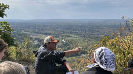
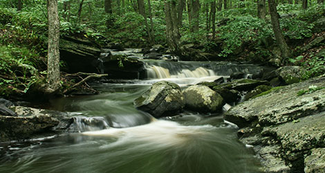
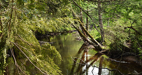
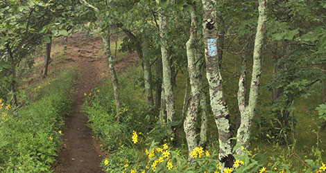
The terrain of the Menunkatuck Trail is rolling, with little to no steep climbing, and consists of rocky wooded ridges, inland wetlands, scenic meadows, and residential areas. Notable features include Timberland Preserve’s Upper Lake and the beautiful haying fields of East River Preserve. The Menunkatuck also has the distinction of being the only CFPA trail to pass directly through a train station!
The Menunkatuck Trail is part of the 220-mile New England National Scenic Trail (NET). The NET was designated as a national scenic trail in 2009 and connects from the Long Island Sound to the MA/NH border. The NET is comprised of the Menunkatuck, Mattabesett, Metacomet, and Metacomet-Monadnock Trails. A detailed resource for hikers is the NET Map & Guide. For more info about the NET, click here. For info and hours for the Henry Whitfield State Museum, click here.
