Details
As of July 2024, the configuration of the Tunxis Trail, and associated side trails has changed as follows:
-
- The mainline blue-blazed Tunxis Trail is now continuous for 8 miles from Whitman Road in Southington to the Commuter Parking Lot off of the north end of Lake Street (behind Aldi’s) in Bristol.
- A 0.9 mile section of the Tunxis Trail (between mile 3.0 and 4.0) has been relocated onto new trail.
- The Tunxis Trail now follows the new trail (previously the Compounce Cascade & Compounce Ridge Trails) from mile 4.0 to the northern terminus of this section.
- The Stonehouse Trail is no longer maintained by CFPA and has been de-blazed.
- The Bobcat Trail is no longer maintained by CFPA and has been de-blazed.
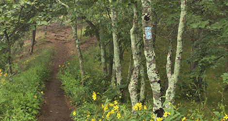
- The Woodtick Trail is now blue/red blazed.
- The Steep Climb Trail, which starts at the Panthorn Trail cul-de-sac, now extends to the top of the ridge, where it intersects with the Tunxis Trail just below the old ski lift; it is blazed blue/red.
- The trail between the midpoint of the Steep Climb Trail and the Tunxis Trail at mile 3.0 is now the Steep Climb Connector Trail; it is blazed blue/yellow.
- The portion of what used to be the Compounce Ridge Trail north of mile 4.0 down to the crossing of Cussgutter Brook (where it intersects with the newly renamed Tunxis Trail just behind Lake Compounce Park) is now called the Compounce Connector; it is blazed blue/yellow.
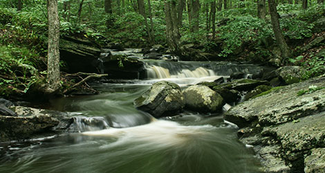
Please refer to the attached map- Happy Trails!
Notice Download