Details
Trail Length: 8 miles
Towns: Preston, Ledyard
Allowed Uses: Hiking Only
Partners: Connecticut Department of Energy & Environmental Protection (CT DEEP)
Trail Overview
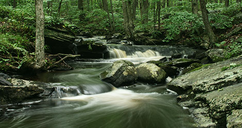
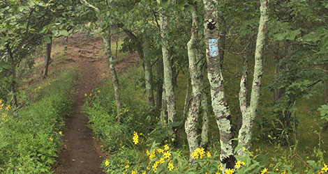
The Pequot Trail connects Ledyard with Preston and offers occasional views of the Thames River valley as well as a few gradual climbs, old pastures, and overgrown woods roads. At an elevation of 330 ft., Rose Hill is the highest point on the trail. The trail passes through Preston’s Lincoln Park, a recreation area with a jogging track, facilities, and multiple ball fields. The trail even follows part of Lincoln Park’s dog walking trail to Rose Hill Rd. Between Rose Hill Rd and the trail’s southern terminus keep your eyes peeled for at least four geocaches and one letterbox. Near the southern trailhead is the Mashantucket Pequot Burial Ground, which is not open to the public and should not be entered. The southern trailhead is within walking distance (by road at this time) of the Mashantucket Pequot Tribal Museum and Research Center, the Mashantucket Pequot Reservation, and the blue-blazed Narragansett Trail.
Near the northern terminus, the trail follows and crisscrosses power lines in a few places. Soaring hawks are often seen above a pair of beaver-inhabited wetland ponds that surround a small rock ridge. Just south of this ridge is a mysterious historical area called Hellgate. Nearby land deeds can be traced back to ownership by the Mohegan Sachem Uncas. Hikers of the Pequot Trail will be surrounded by local history.
- Hunting is permitted in a Wildlife Management Area intersected by this trail. Please use caution and wear orange during hunting season.