


January 5, 2025
North Stonington – Difficult/ Unblazed Trail Section
Narragansett Trail
Notice
April 2, 2022
Rte 49 – Trail Closure
Narragansett Trail
Closure
Details
Trail Length: 16.3 miles
Towns: Voluntown, North Stonington
Allowed Uses: Hiking
Partners: Connecticut Department of Energy & Environmental Protection (CT DEEP), The Nature Conservancy
Trail Overview
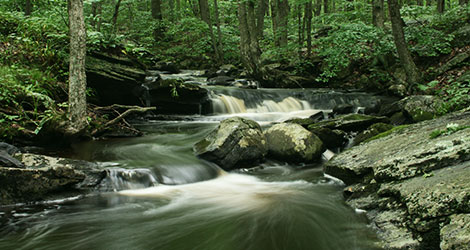
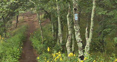
The Narragansett Trail in Connecticut is a multifaceted trail that passes through rich forestland and active wildlife refuge areas. The trail follows and crosses several brooks, traverses wild ravines, and passes five ponds and lakes. The trail offers many panoramic vistas along the way, including those from the summits of Lantern Hill and High Ledge. On a clear day, hikers may be able to see all the way to Long Island Sound. The trail joins the blue-blazed Pachaug Trail in Pachaug State Forest; it also passes near The Nature Conservancy’s Gladys Foster Preserve and offers opportunities for loop hikes where it connects with other CFPA blue-blazed hiking trails.
The Narragansett Trail continues into Rhode Island at Camp Yawgoog and that section is maintained by the RI Chapter of the Appalachian Mountain Club. Along the border, the trail shares footage with the Tippecansett Trail.
For longer day hikes or backpacking trip, hikers can connect to the Quinebaug, Pachaug, and Nehantic Trails. Four overnight shelters are available in the State Forest and can be used by backpackers on a first-come, first-serve basis. For more info on DEEP’s campgrounds and backcountry shelters, click here.