


Details
Trail Length: 6.2 miles
Towns: New Milford
Allowed Uses: Hiking Only
Partners: Northwest Connecticut Land Conservancy, Town of New Milford
Trail Overview
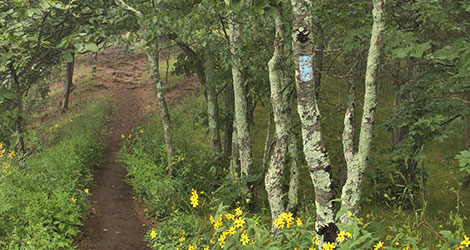
The blue-blazed Housatonic Range Trail traverses the forested plateau of the Northwest Highlands and follows the route of a former Indian footpath high above the Housatonic River. The trail parallels Route 7 and offers views of the river as it flows through Marble Valley. From Gaylord Road in New Milford, the trail extends south across Boardman Mountain and over Pine Knob to its terminus at Candlewood Mountain. A short side trail (blue/red blazed) near the Candlewood Mountain summit leads to Kelly’s Slide, a huge rock slide on the east side of the mountain.